It was an off and on cloudy day, with the wind blowing rather robustly. I was glad I wore a couple layers, just in case.
It's about a ten-mile drive from the Blue Ridge Road up to the Upper Works, and at about 8 miles an hour, it took a long while to do the route. Two and a half hours, in fact.
The first thing that caught my eye was this dogwood with its lovely pink berries (only one had turned blue - can you find it?).

I was looking for invasives, but the only one I saw (that was on my list) was knapweed. But I'm not 100% sure if it is spotted or brown. Spotted has paler flowers than the brown, but much of the ID has to do with the color of the bracts. Are these brown or black tipped? I'm not sure. I'm hoping Jackie will chime in with her expertise.

I found two stalks of silverrod, too. This is a native flower, in the goldenrod clan. The difference? Well, the obvious difference is that the flowers are white, not yellow. Hence the name.

The extensive erosion along this waterway caught my eye.
 What has caused the soil to slump so drastically here? It's sandy soil, which automatically suggests it doesn't have a lot of grip, and there is little vegetation in evidence to provide any sort of structure to hold the soil in place. Is it just gravity, or did that stream (could it be the Hudson?) rise dramatically with some of our heavy rain storms and tear away the soil as it rushed past?
 I've said it before, and I'll say it again: I love wetlands.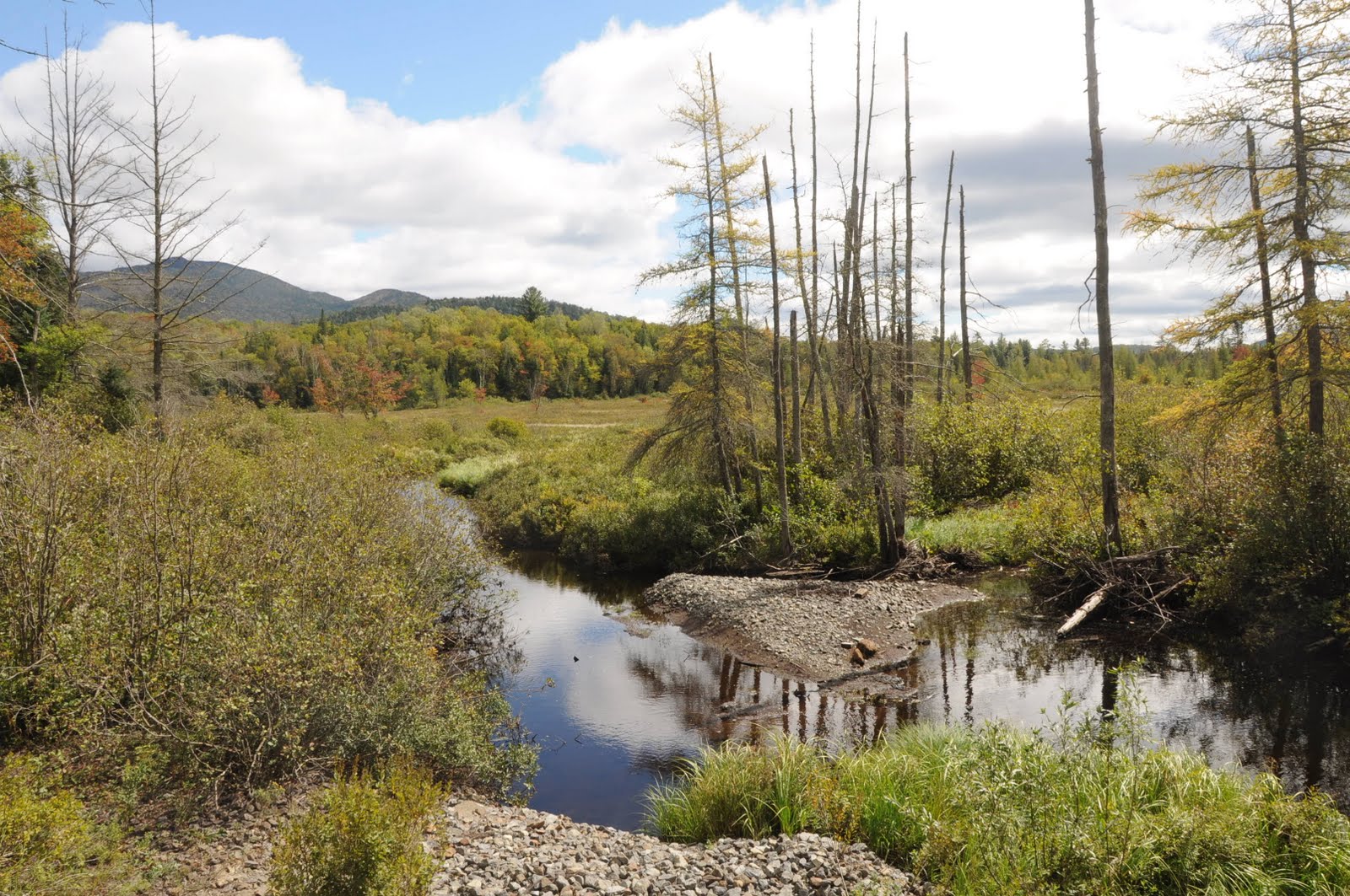
 I believe this is part of Sanford Lake. What do you see along the shoreline? It's a rather large beaver lodge. Here is a perfect example that not all beavers build dams. Sometimes the water is deep enough for your food and all you have to do is build a home. A good shoreline is a fine place to set up housekeeping.
Looking northward toward the High Peaks.

This is the only building from the small town of Tahawus that is in any kind of condition worth saving. The rest are in various stages of utter decay (see link above to my piece about Tahawus).

These little rock cairns are ALL OVER THE PLACE these days. Someone (or someones) has been busy building them all along the roads, especially between Minerva and North Creek. Our golf course in Newcomb also has quite a few, some of which are over three feet tall!

As you can see, the autumn colors are really getting going now. If things go continue as they are now, the color should be good this year. Here we are once more along the Hudson (I think). I love that old stone ruin off to the right side of the river (click on photo to enlarge). Probably part of a bridge once-upon-a-time.
 I'm happy to report that the evidence for invasives was pretty Spartan. With all the traffic Tahawus sees, though, I'm sure that in a few years there will be more than knapweed to worry about along this stretch of road. In the meantime, it is a lovely drive with some great views.


