After much arm twisting and tantalizing tales, I was finally convinced
by a friend to join a group of folks who were headed north for the UP
(Upper Peninsula) this last weekend. We left Jackson on Friday afternoon after the completion of our final "Our World of Water" program for the Jackson Public Schools. Huzzah!
The first bit of the trip was uneventful. We saw some "Titans of windmills," as my dad calls the giant wind turbines that are now dotting the landscape across much of our country. That was about as exciting as it got.

And I decided to play tourist and take lots of silly photos along this trip (as well as some serious ones). Here's where we stopped for a late afternoon pick-me-up:

Everyone told me that once we got north of Clare, there would be a dramatic change in the landscape, from flat, rural, agricultural...

to boreal-like bogs. They weren't kidding!

We were a couple hours down the road when we passed a large heron rookery in one of the wetlands. Note the dark dots just left of the center of the photo - those are the nests up in the trees in the distance.

Onward we drove.

Exit 282 (off 127...or was it Route 75?) takes one to Big Bucks, a brewery in Gaylord. We were destined to stop here on the way back home. You'll see why later.

We weren't too far from The Bridge when we opted to pull over for a stretch. We'd been on the road about four hours and it was good to get out of the car. Can you see the "You are HERE" on the map?

We took advantage of the cooler air and the nature trail to get the kinks out.

And I'm so glad we did, for we encountered some old friends of mine from back east: flowers of the north woods. First we ran into yellow clintonia. And not just a handful of plants, like I usually see, but whole expansive carpets of them! It was amazing!

And then there was starflower! Not quite as many, but still a good few.

The Canada mayflowers were huge! We were soon to discover on this trip that many of these northern plants grow to immense sizes in northern Michigan.

Solomon's plume (aka: false Solomon's seal) was getting ready to bloom, but not quite yet.

And patches of wintergreen were scattered on the forest floor. We took a nibble. Ahhh!

Thanks to my friend Jackie back in Saratoga, I knew what this plant was: glaucous honeysuckle. It's not quite open yet, but I assured my companions, Libby and Paul, that when it did open, it would look like a glorious fruit salad in a vibrant green bowl. I was very excited to see it - this is the first time I've found this plant sans Jackie!

Now, at first I thought this was mountain maple, but then I got to thinking something wasn't quite right. Then I though perhaps it was maple-leaved viburnum. Hm. Even though the buds are still closed on the flowers, my Newcomb's Wildflower Guide agrees with my assessment.

What an amazing rock! Michigan is littered with lots of really interesting geological specimens, and these very round rocks are featured in many a geologic display.

The draw for most folks to do this little walk (although cars can also drive up to the top) is the view from about four different platforms. They look out over the highway, but in the distance is Burt Lake.

On the way back down the hill we saw good ol' sarsaparilla.


Back on the road, we kept seeing these signs. Never quite found out what the Mystery Spot was, but I suspect it had something to do with a ropes course.

Before too long we were seeing the towers of The Bridge through the humid haze.

To the right of us was Lake Huron. This was the second time I've seen Lake Huron - the other time was a year and a half ago up near Saginaw while at a conference.
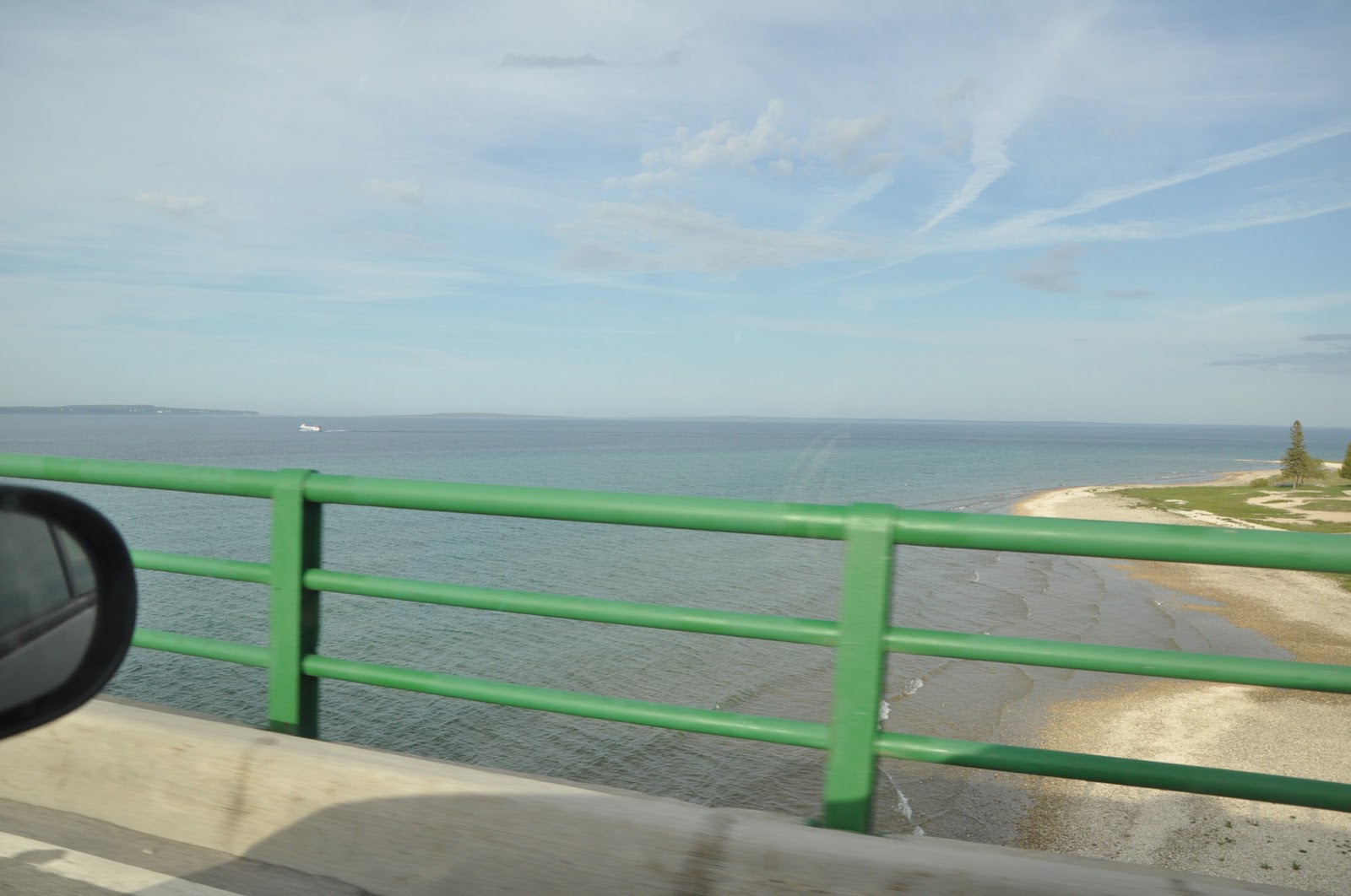
To the left was Lake Michigan. It was mostly lost in the fog and haze, but as we reached the end of the bridge the haze cleared a bit and we could see some land. This was my first view of this Great Lake.

And here we are coming down the long end of the bridge. See...tourist.

Et voila! we are in the UP!

Pasties are the thing up here. If there was one place selling them, there were a hundred.

I don't think this is a functioning lighthouse - probably just a tourist stop.

Deer Ranch, anyone?

Or how about this destination? Gosh...I almost felt like I was in Lake George!

Evening was falling and the fog had cleared from Lake Michigan.

We stopped at a roadside park so I could play tourist some more.

Much of the land along this stretch of highway was sandy dunes. Some are posted to discourage motorized vehicles, but others are the playgrounds of those on ATVs.

We were now nearly five hours on the road...getting tired and looking for our motel. We found a porcupine walking along a nearly deserted road before we found the civilization that was to be our home for the next three days.

Newberry - the Moose Capital of Michgan (that's what it says on that sign...and that's what MI's state legislature has officially dubbed this town). Well, as you can imagine, I was all sorts of excited. I was FINALLY going to bag my moose!

Well, there it is. Three and a half days in the Moose Capital of Michigan and this was the closest I came to seeing the real thing.

It was about 9:30 PM when we finally got some dinner. A long drive, but with good company. We were all looking forward to a restful night (didn't happen - too hot and humid), and a weekend of birding and (for me) naturalisting.
Stay tuned to find out what happened next...
No comments:
Post a Comment